
Trusted by brands all over the world.
How to start with the Globe
Real-time insights
Data syncs across your team instantly. Real-time access, with 99.9% uptime.
Connect all our contacts
Sync with your calendar apps and contacts. Google, Outlook, ProtonMail, and more.
Dashboards for all businesses
Lorem ipsum dolor sit amet consectetur adipisicing elit. Fugit totam delectus rerum.
Related sites and partners
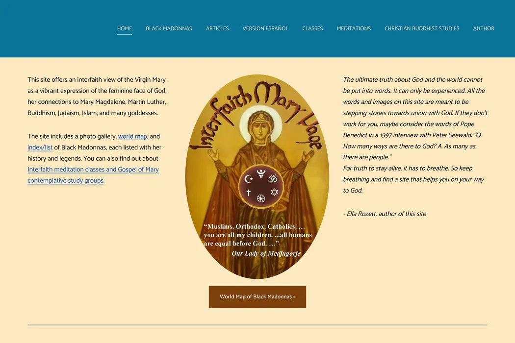
interfaithmary.net
The site includes a photo gallery, world map, and index/list of Black Madonna statues and iconography, each listed with her history and legends. You can also find out about Interfaith meditation classes and Gospel of Mary...
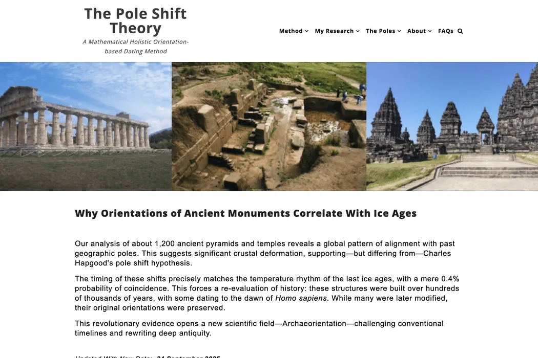
mariobuildreps.com
Orientation patterns of more than 1,100 ancient pyramids and temples correlates with the temperature changes of the last series of glaciation cycles.
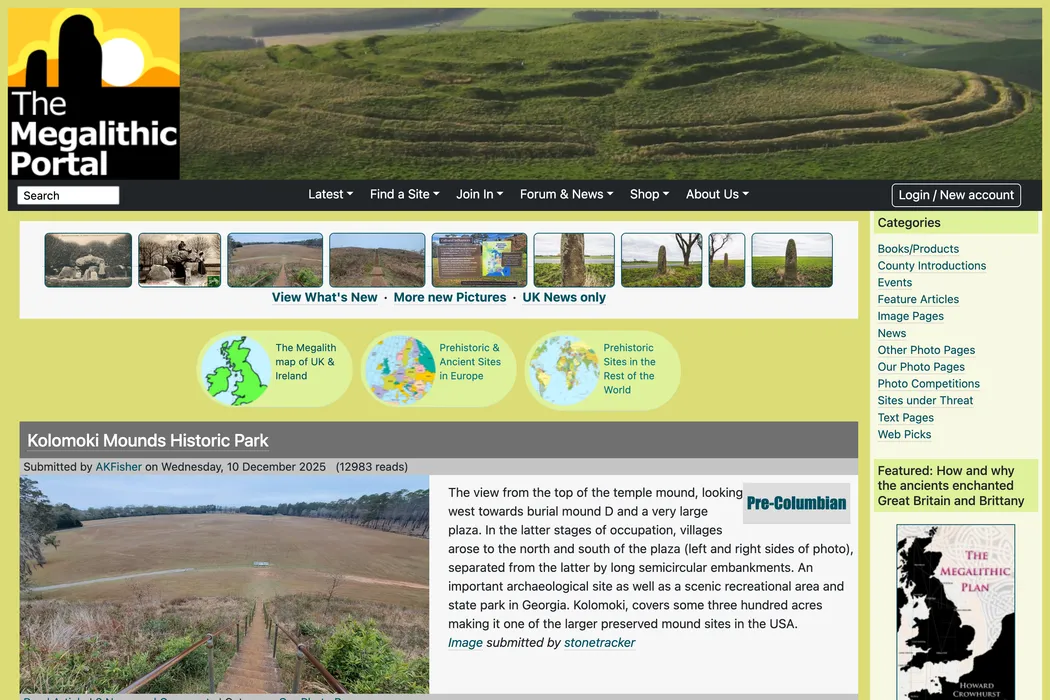
megalithic.co.uk
The top destination for Prehistoric and Ancient Sites worldwide. World-wide Ancient Site Database, Photos and Prehistoric Archaeology News with geolocation.
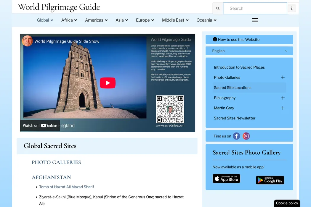
sacredsites.com
A comprehensive list of hundreds of sacred sites in almost every country in the world. All the major religions and wisdom traditions, and ancient to contemporar.
vortexmaps.com
A paranormal vortex is an interdimensional portal, a place where psychic abilities are enhanced. Vortexes occur in geometric patterns. Maps of vortexes around the world. Learn how to map vortexes in your area.
Tools used to build this page
Linux
Cesium
Terria
Leaflet
Github
Amplify
Netlify
Iterm
What our clients say
Use and reuse tons of responsive sections to create the perfect layout.
I'm not a front-end dev, but I wanted to rebuild my personal site with Astro. If you're in the same shoes, I can't recommend enough Cosmic Themes.

Aniket P
Data Scientist
The Blogsmith Pro theme is ridiculously well put together and documented. I learned a ton about Astro engineering by studying it, and I've already used some of the components for my web design clients.

BowTiedFocus
Frontend Engineer
Cosmic Themes provides some of the best Astro themes out there. They are well designed, easy to customize and, most importantly, the team is very responsive concerning support and feature requests.

Damiano L
C++ Developer
It's the cleanest template standup experience ever! I've never used Astro, but looking at the demo, code, it should be fairly simple pickup on top of my existing React and NextJS experience.

David G
Web Developer
Cosmic themes are for webdevs and marketers who don't want to waste time reinventing the wheel. Their themes have great examples of some of the creative things you can accomplish with Astro.

Travis B
Developer
My step-dad is starting a construction business and we're looking through Astro themes right now for his website and stumbled upon Cosmic Themes "Galaxy" theme. Absolutely filthy. Excellent work, man.

Isaac
SaaS Developer
A plan for every business
Basic
$29 / mo
(paid monthly)$19 / mo
(paid yearly)Essential features for beginners. Get started with ease
- Basic Features
- 1 user
- 2 GB Free Access
- Limited Support
Professional
$49 / mo
(paid monthly)$39 / mo
(paid yearly)Perfect for solo professionals. Unlock advanced features
- Pro features
- Up to 10 users
- 50 GB Free Access
- Priority support
Enterprise
$99 / mo
(paid monthly)$79 / mo
(paid yearly)Scale your business faster. Comprehensive plan for large companies
- Pro features
- Unlimited Users
- 200 GB Free Access
- Premium Support
Make your next website incredible.
- Seamless Collaboration
- Customizable Workflows
- Comprehensive Reporting
- Intuitive Interface


Frequently Asked Questions
How to get started with the Leylines Map?
- Display the Leylines Map by using the URL https://maps.leylines.net.
- In the left-hand panel click to launch the Data Catalogue.
- Browse through the Data Catalogue to find a dataset of interest. Click on the title of your prefered dataset to get a preview of that data, along with a description and other relevent metadata. To view your selected dataset on a larger map, click . The spatial data will be immediately displayed in the map view, and a visual legend for that data will appear in the Data Workbench, located on the left hand side of the page.
- Note that it may not be immediately obvious where your selected spatial data has loaded on the map. To locate loaded data on the map, go to the Data Workbench (positioned on the left hand side of the page), and click to extent link for your desired dataset. From here you can also click to get more information about your selected dataset.
- To add additional datasets to the map, simply click again in the left hand panel to relaunch the Data Catalogue.
- Zoom manually by moving your mouse pointer over the map and using your mouse wheel to zoom in or out further.
- Click and drag the map to further show the region in which you are interested.
- Click on a feature (that is, directly on a point or line, or within a region) to show data about the individual feature.
How to find out about a displayed feature?
For Points and Lines, you need to click quite accurately to identify the feature.
For Regions, clicking on the boundary will give ambiguous results. Click within the region. You cannot find out further information about the features which are part of the base maps.
How to display my own spreadsheet or spatial data?
Other standard spatial data types such as GeoJSON and KML are also supported.
There are two ways to load your data:
- Drag your data file onto the Leylines Map map view. The format of the data file will be auto-detected.
- Click on the Add Data button in the left hand panel. This will launch the Data Catalogue. Select the My Data tab at the top of the modal window and follow the provided instructions.
How to share my Leylines Map view with others?
- Click the Share button, copy the given URL (shown in the first text box) to the clipboard and paste it into an email which you send to the recipient. They can click on it in the email or paste it into their browser to see the same view as you.
- Click the Share button, copy the HTML fragment (shown in the second text box) and paste it into an HTML file, which you then make available to the recipients. When the recipients display your web page, they will see the Leylines Map view within that web page.
- Take a screenshot and email it as an image (see your OS instructions on how to take a screenshot). This will share all information, even if loaded from a local file or URL.
How to contribute Data Sets to Leylines Map?
If you require your dataset to appear under a separate category of the Leylines Map Data Catalogue, you will need to contact the support for Leylines Map by emailing to info@leylines.ch for more information. You will need to provide an internet accessible service in a standard protocol to access your dataset on the internet and appropriate references must be added to the Leylines Map configuration.
Where are the satellite imageries in the basemaps?
How big is the Leylines team?
How can I donate your work?